Stop chasing yesterday’s pile.
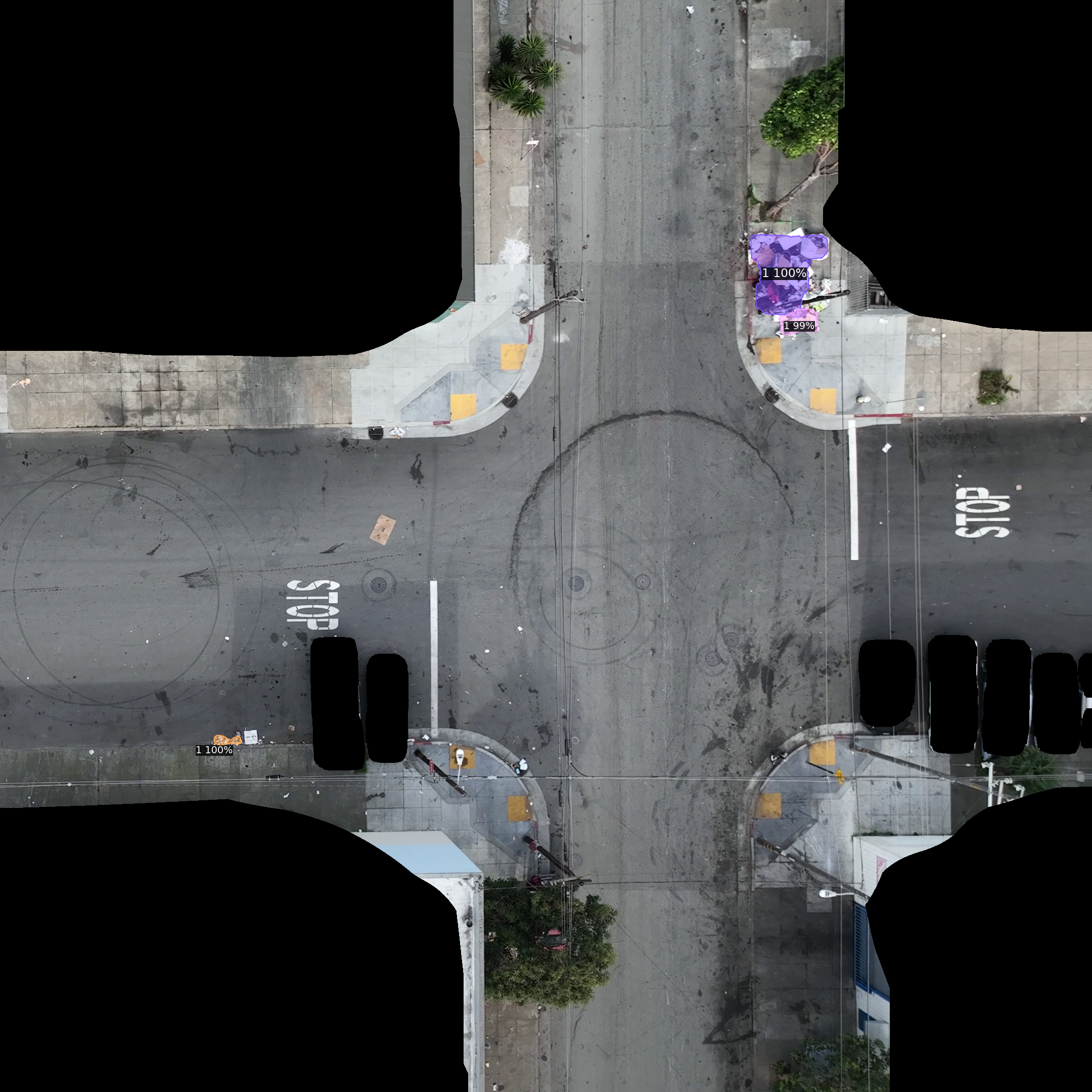
See which reported locations still need attention—and which have already been cleaned.
Built for public works
Give your crews a clearer picture of what needs cleaning—not another dead end.
Aerbits checks illegal-dumping reports against fresh aerial imagery, corrects locations, documents cleanups, and identifies missed piles. A more reliable work queue. A better starting point for every shift.
Your team does the cleanup. We help make the work visible.
 Aerbits aerial detection
Photo evidence · location · current condition
From the field
Bayview–Hunters PointAerial detection and reporting,
followed by on-the-ground cleanup.
Make every crew trip count
When information is out of date, limited crew time goes to checking reports instead of clearing dumping.
See which reported locations still need attention—and which have already been cleaned.
Surface dumping visible in the survey, including piles that never made it into the resident-report queue.
Connect cleanup records to photo evidence, so your team can explain what changed on the street.
Same block, different flights
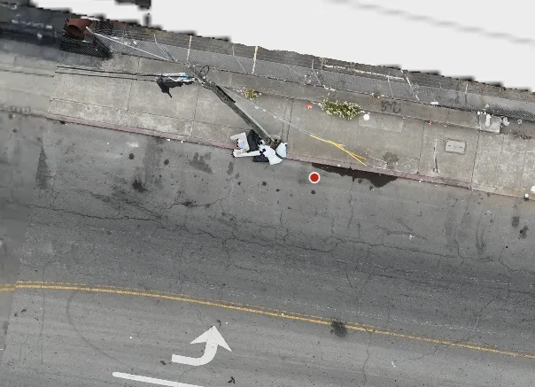
One survey is a snapshot. Flying the same block again is what shows what actually changed — a pile that appeared where the pavement was clear, or a pile that’s gone after a crew pickup.
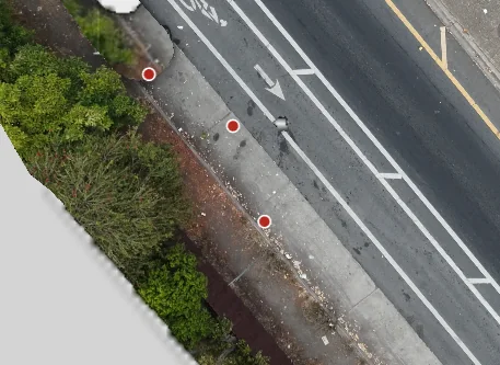 Flight 1 · clear
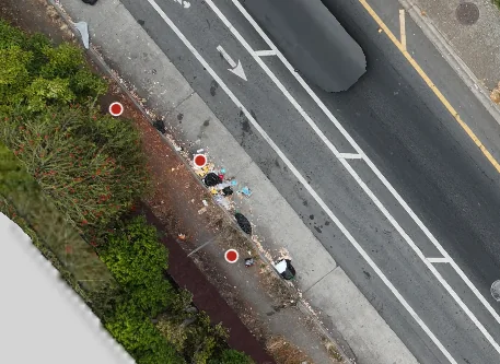 Flight 2 · new pile
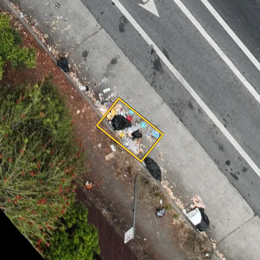 Detected
 Flight 1 · pile
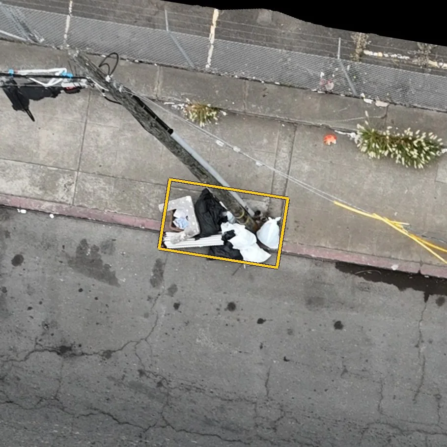 Detected
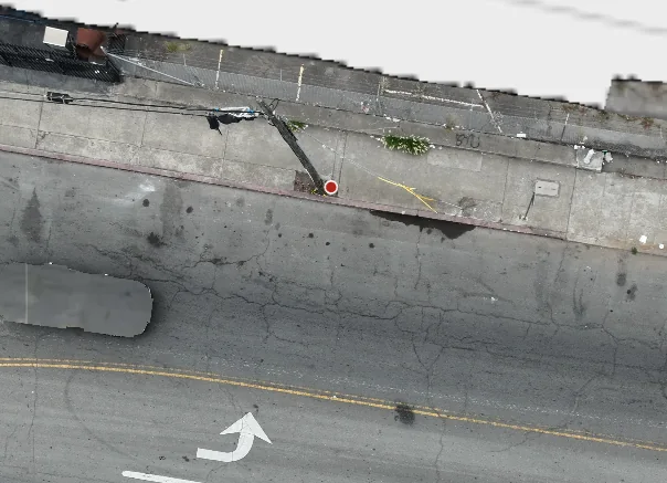 Flight 2 · cleared
A better starting point for the next shift
Follow an illustrative report from uncertainty to verified cleanup. Select a step to see what changes.
An accurate queue can grow when missed piles are found. The goal is fewer dumpsites—not just fewer tickets.
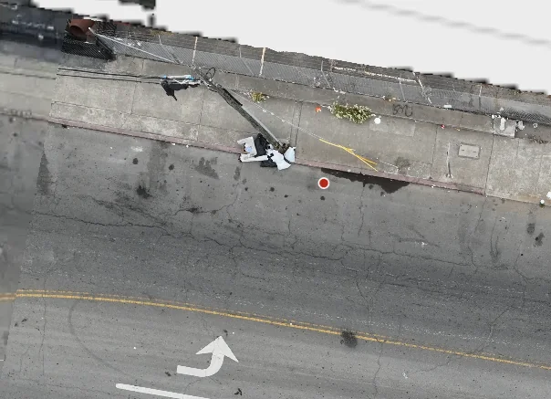
“Dumped items near the corner.” The crew still needs to find the pile and check its condition.
Illustrative record. The three views show the same corner — as reported, flagged by the detection model, and after the crew’s pickup.
One pile, several reports
Reports arrive from different people, at different times, from different angles. The same pile can be filed again and again — and every filing gets snapped to a street address, which isn’t always where the garbage actually sits. Aerbits reconciles the queue against a fresh survey.
Filings for the same dumping collapse into a single verified location, so crews aren’t sent to the same corner twice.
A parcel that fronts two streets can geocode to the wrong frontage. Aerial evidence puts the pin where the pile is, then hands back a corrected position.
Existing work orders are checked against the current survey — already cleaned, still present, or moved — and updated so the queue matches the street.
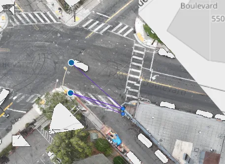
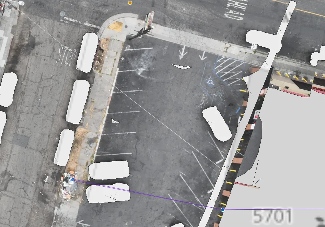
Illustrative examples. Report pins are representative, not a live city dispatch feed.
Bayview–Hunters Point / San Francisco
Aerbits’ reported Bayview pilot counts went from 118 active dumpsites to a low of 5. Aerial detection and reporting helped make the work visible; on-the-ground cleanup removed the waste.
Explore the Bayview results≈96%fewer active dumpsites
between these two counts
Source: Aerbits’ Bayview pilot reporting. Counts of sites—not waste volume, crew-hour savings, or a guaranteed result for another city.
For your department
Your work-order process, coverage needs, and approval rules belong in the conversation from the start.
Get the pilot discussion briefA printable checklist to share with your team.
Start with your existing reporting and dispatch workflow. In the pilot discussion, we’ll review the systems you use, data exchange requirements, and who can update or close a record. Confirm compatibility before committing; this page does not promise an integration with every platform.
Aerial imagery documents visible conditions within the surveyed area. Weather, airspace, trees, and structures can limit coverage. Agree on the survey boundary, cadence, and a ground-check process for obscured sites. A pile that cannot be seen should not be assumed clean.
Define the evidence standard, review responsibilities, closure permissions, and correction process with your department before launch. Those decisions should be part of the pilot scope, not something your crews discover in the field.
Aerbits is focused on illegal dumping—not license plate reading, facial recognition, or law enforcement. Review imagery handling, retention, ownership, access, and security requirements with us during scoping.
Request a scoped proposal for your survey area and workflow. It should set out pricing, flight responsibilities, insurance requirements, staff involvement, implementation milestones, and any system dependencies before a purchasing decision.
Start with a decision you can measure
A proposed pilot approach—not a commitment to a citywide rollout.
Agree on the boundary, survey schedule, work-order workflow, and responsibilities.
Compare active dumpsites, verified cleanup times, and avoidable verification trips against the baseline.
Look at the evidence with your team. Decide whether to adjust, expand, or stop.
Let’s talk about your city
Bring one problem area and the way your team works today. Let’s discuss a practical pilot, the evidence you need, and what success would look like.
Opens Calendly. Prefer email?
brian@aerbits.com